Preamble
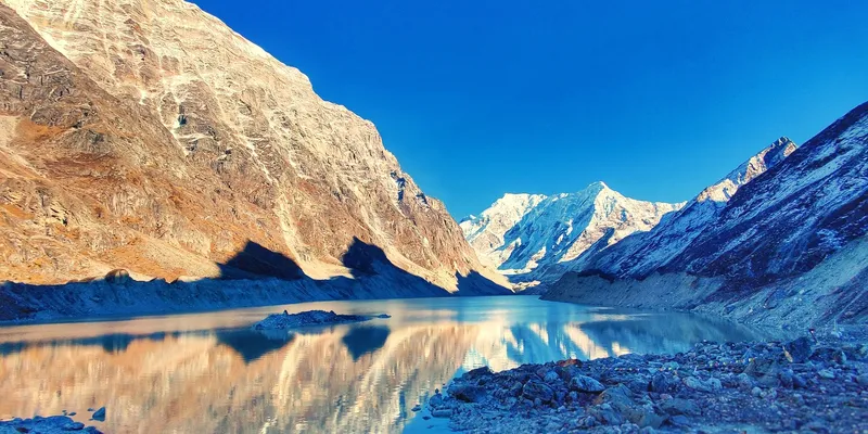
While on a holiday in Nepal during October - November 2021, my friends and I were planning a hiking trip to the mountainous regions of the country. After some consideration, we decided to hike to Tsho-Rolpa lake and back.
The Tsho-Rolpa lake trail is not a popular trekking route, so we expected less crowd along the way. That was a plus in COVID times. The destination is a glacial lake threatened by global warming and climate change. We decided to visit it to remind ourselves what we and future generations would miss if we don't act on the effects of human activities.
Introduction
Tsho-Rolpa (NE: च्छोरोल्पा) lake, at 4,580m above sea level in Nepal, is one of the biggest glacial lakes in the country. The outflows of the lake form the Rolwaling (रोल्वालिङ) and the Tamakoshi (तामाकोशी) river. The lake lies in the Rolwaling valley in Dolakha district and is part of the Gaurishankar(गौरीशंकर) Conservation Area. The conservation area gets its name from Mount Gaurishankar (7,134m), which rises there, and our trek involves walking along the base of the mountain for a long time.
The Nepal Standard Time (UTC +5:45) follows the meridian of Mount Gaurishankar.
Itinerary
The Tsho-Rolpa trek typically takes 7-9 days, but time constraints forced us to squeeze it into 5 days. We knew we had to walk extreme lengths of the trail each day. We were mentally prepared for it.
The regular 7-9 day trek also accounts for acclimatization. It suits people who are not used to high altitudes, so they don't suffer from altitude sickness. We had been to high altitudes in the past with no such problems, so we could skip a day for acclimatization. But we were still prepared to go back to a lower altitude if any of us started having debilitating effects from the high altitude.
Trip summary
- Total elevation change: 3,500m
- Motorbike ride time: 15 hours
- Hiked time: 42.5 hours (breaks included)
- Difficulty level: moderate/difficult

Day 1: Bhaktapur (भक्तपुर) - Chhetchhet (छेतछेत) - Surmuche (सुर्मुचे)
- Altitude: from Bhaktapur (1,400m) through Chhetchhet (1,398m) to Surmuche (2,470m)
- Motorbike ride time: 7.5 hours
- Hiked time: 4.5 hours
Bhaktapur - Chhetchhet motorbike ride
We(me and three friends) started the trip early, at 5 am from our hometown Bhaktapur in the Kathmandu valley. We were going to ride our motorbikes until the last point we could, then start the actual trek from there.
Despite our effort to get 3 motorbikes, we managed only two. There were 2 persons on each motorbike along with our backpacks. I rode my younger brother's KTM Duke 200cc motorbike. Its powerful engine made riding on off-road trails a lot easier. But the smaller seat size didn't make for a comfortable ride for two persons with heavy backpacks.
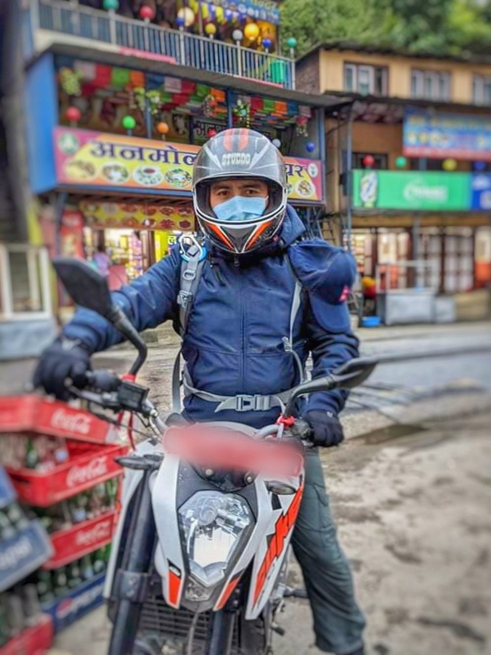
We stopped for lunch at Charikot before continuing our journey via Singati. Charikot is the headquarters of Dolakha district. We made a few stops along the way for rest, enjoying the beautiful views of the Himalayan mountain range and the waterfalls.
The Gaurishankar Conservation Area starts from Singati, where visitors must pay an entrance fee. Foreigners might also need extra documents and trekking permits.
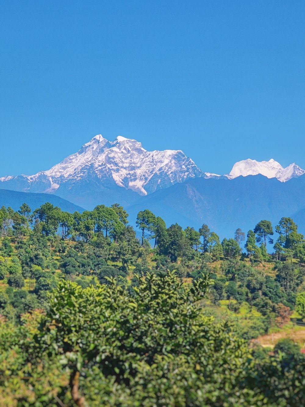
We rode the motorbikes for around 7.5 hours through the windy roads of Nepal's hilly regions. We reached Chhetchhet, where the hiking part of our journey would start.
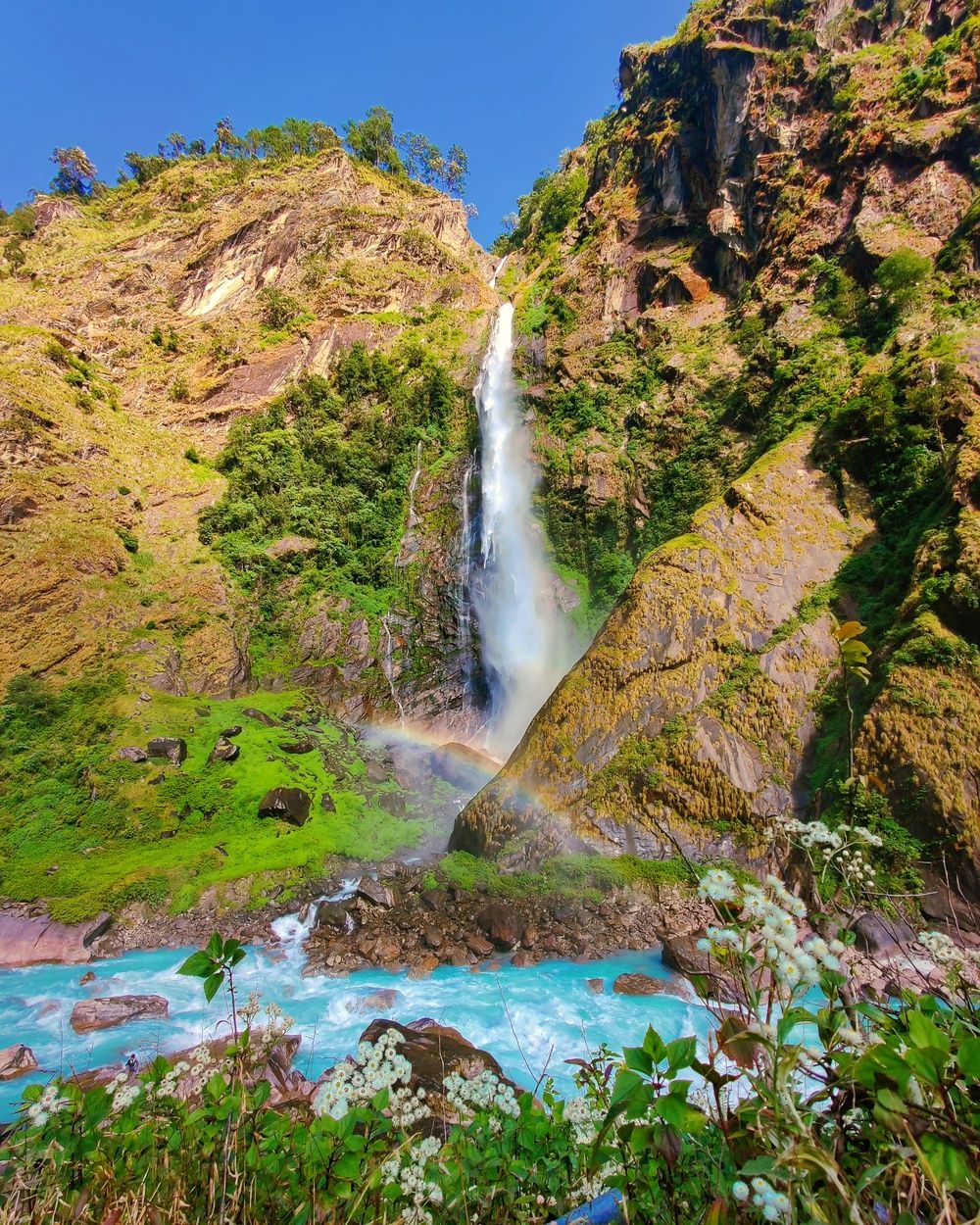
Shortly before reaching Chhetchhet, we came across a gorgeous waterfall flowing to the turquoise-blue water of the Tamakoshi river. A rainbow had also formed in front of it, making the view even more surreal.
Most travelers reach Chhetchhet from Kathmandu by public transport, but we used motorbikes. You can take a bus from Kathmandu to Singati and then a jeep to reach Chhetchhet. Or you can reserve a jeep directly from Kathmandu to Chhetchhet.
Chhetchhet to Surmuche trekking
After leaving our motorbikes in a secure garage in Chhetchhet and resting for a while, we started the actual hike at 3 pm. The trail ahead climbed a hill almost vertically to the top, and we felt a bit daunted, to say the least. But we braved the trail anyway, eager for the journey ahead. The first half-hour was especially hard since our body hadn't warmed up. Once we got the hang of it, the walk became easier.
Three hours of walk and a few breaks later, we reached the village of Simigaun. Simigaun is the last village with grid electricity. Trekkers on the Tsho-Rolpa route typically stop there first to charge their electronics overnight. But this was not our planned stop for the day. We were going to continue further to the next village.
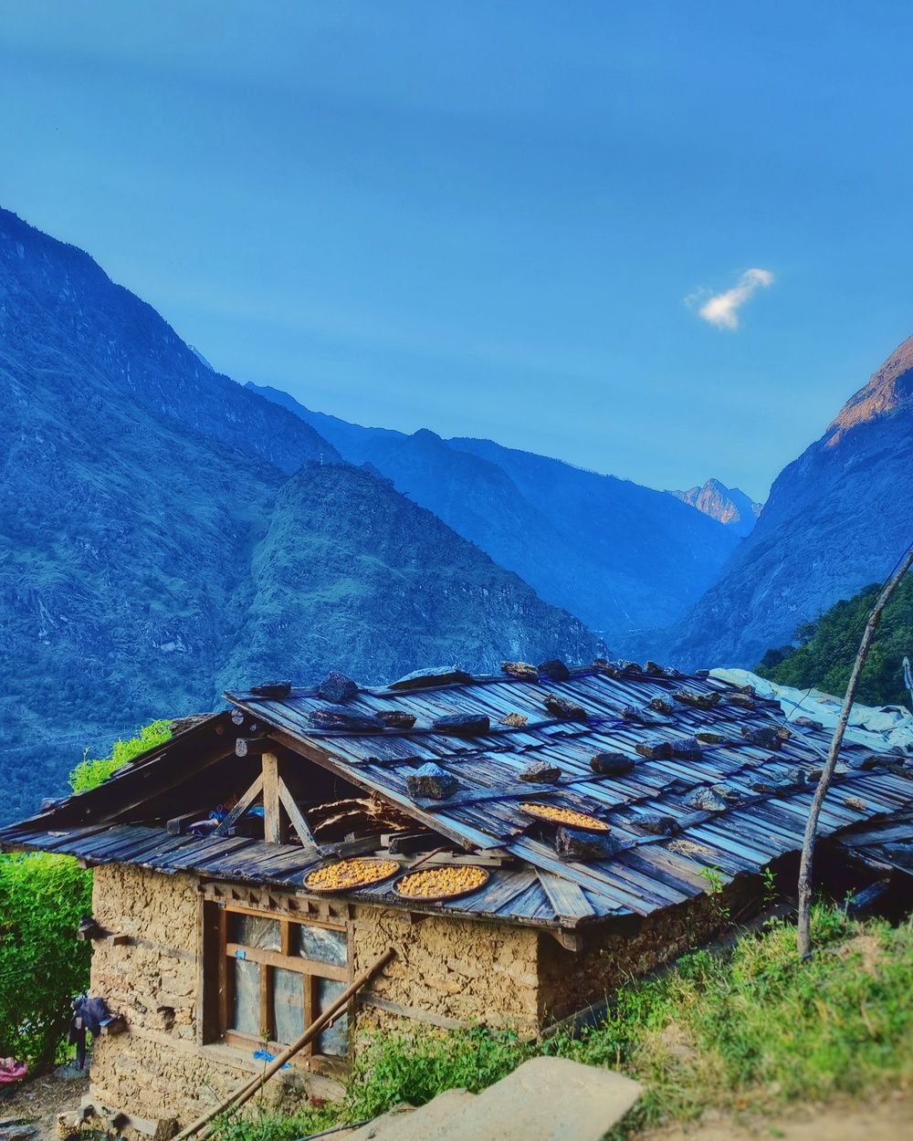
After walking for another 2.5 hours, most of it in the dark, we reached Surmuche. Only headlamps and flashlights lit our way. We felt exhausted and wanted a hearty meal to refill our energy at the hotel/teahouse there. There was only one teahouse at this destination and the next village was at least 3 hours away.
We were fortunate that the teahouse in Surmuche was open. The owner had walked the same path from Surmuche and arrived just an hour ago. He felt tired and a bit unwell, so he could only offer a simple meal. Despite this, he showed us our accommodation for the night and made tasty noodle soup for us. The soup was more than enough, and we had snacks with us anyway, so we could have them if needed. With another day of a long walk ahead of us and the exhaustion from the day's bike ride and walk, we didn't waste much time going to bed.
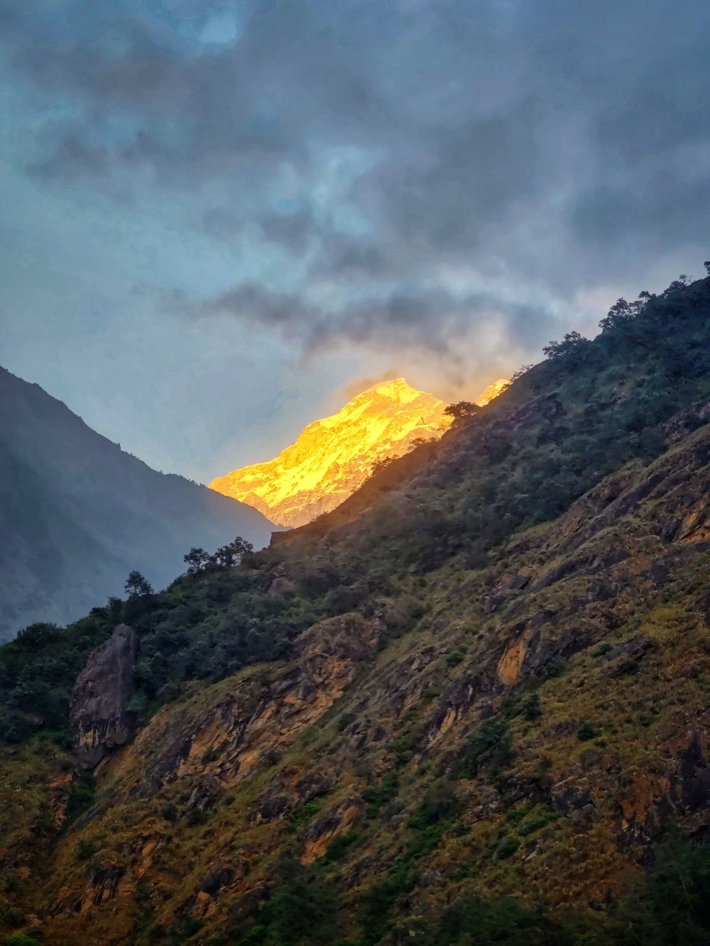
Day 2: Surmuche (सुर्मुचे) - Beding (बेदिङ्ग)
- Altitude: from Surmuche (2,470m) to Beding (3,721m)
- Hiked time: 12 hours
We had an ambitious plan for our second-day hike. We woke up early at 6 am, and right after breakfast we started our hike. This was also an uphill hike, but the elevation change didn't feel as aggressive as the previous day, or maybe we got used to it.
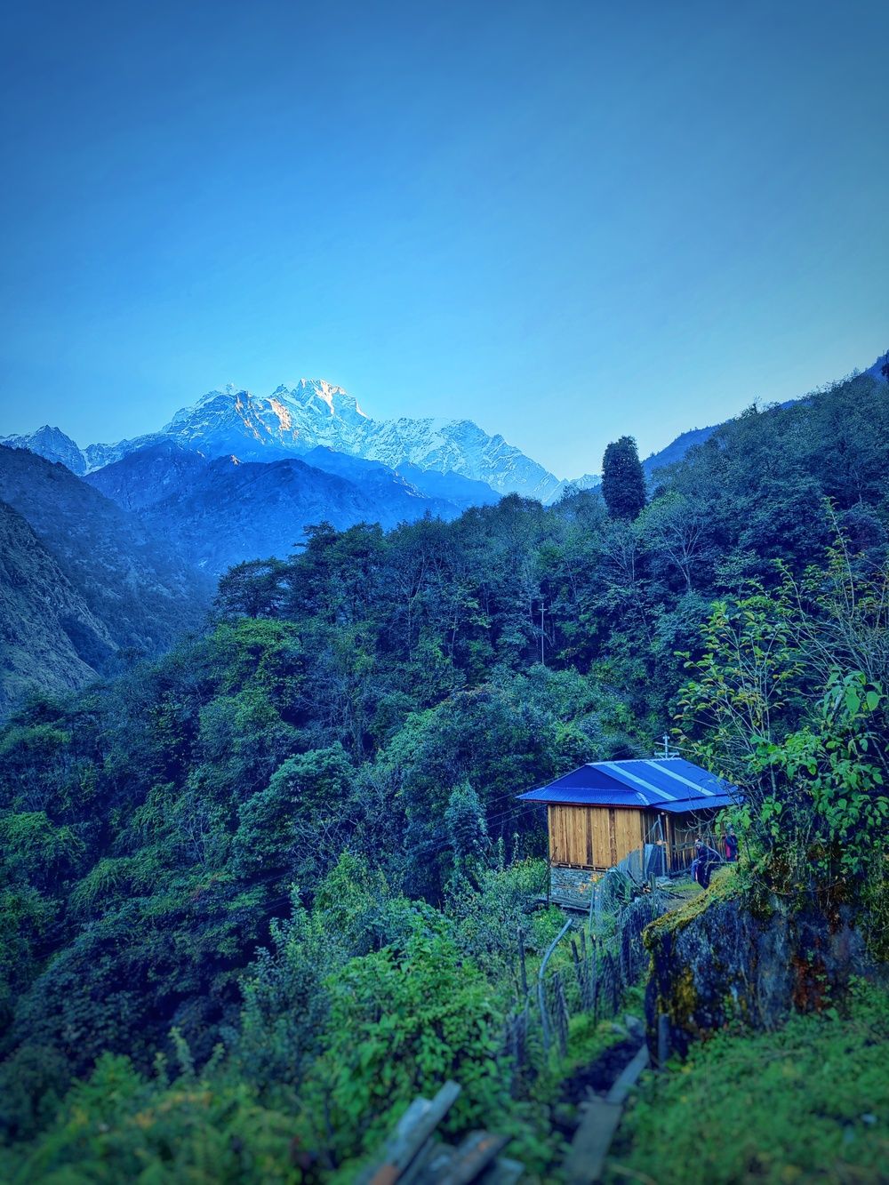
After hiking for about 2 hours, we reached the next stop of Kyalche. We felt fine, so we rested briefly and took some pictures before continuing.
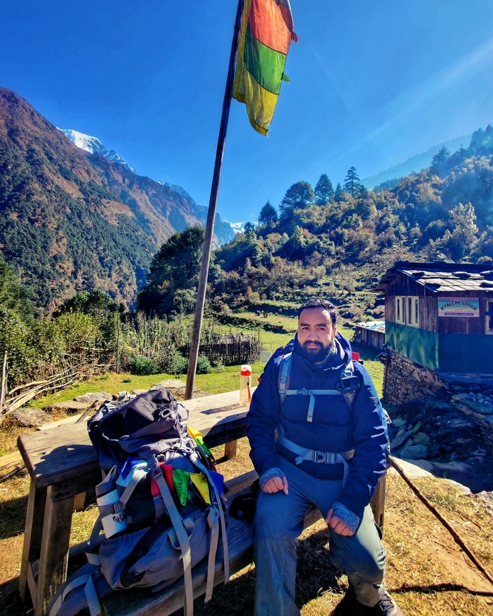
We noticed that we stopped getting cellphone network reception at some point. It felt odd at first, but it kept us present. We soaked in the views during our rest time instead of scrolling social media.
After two more hours of hiking with little to no elevation change, we reached Dongang (डोंगांग), a small settlement along the Tamakoshi river with turquoise blue water. The water's almost surreal color probably comes from minerals washed down from the mountains and glaciers not so far away.
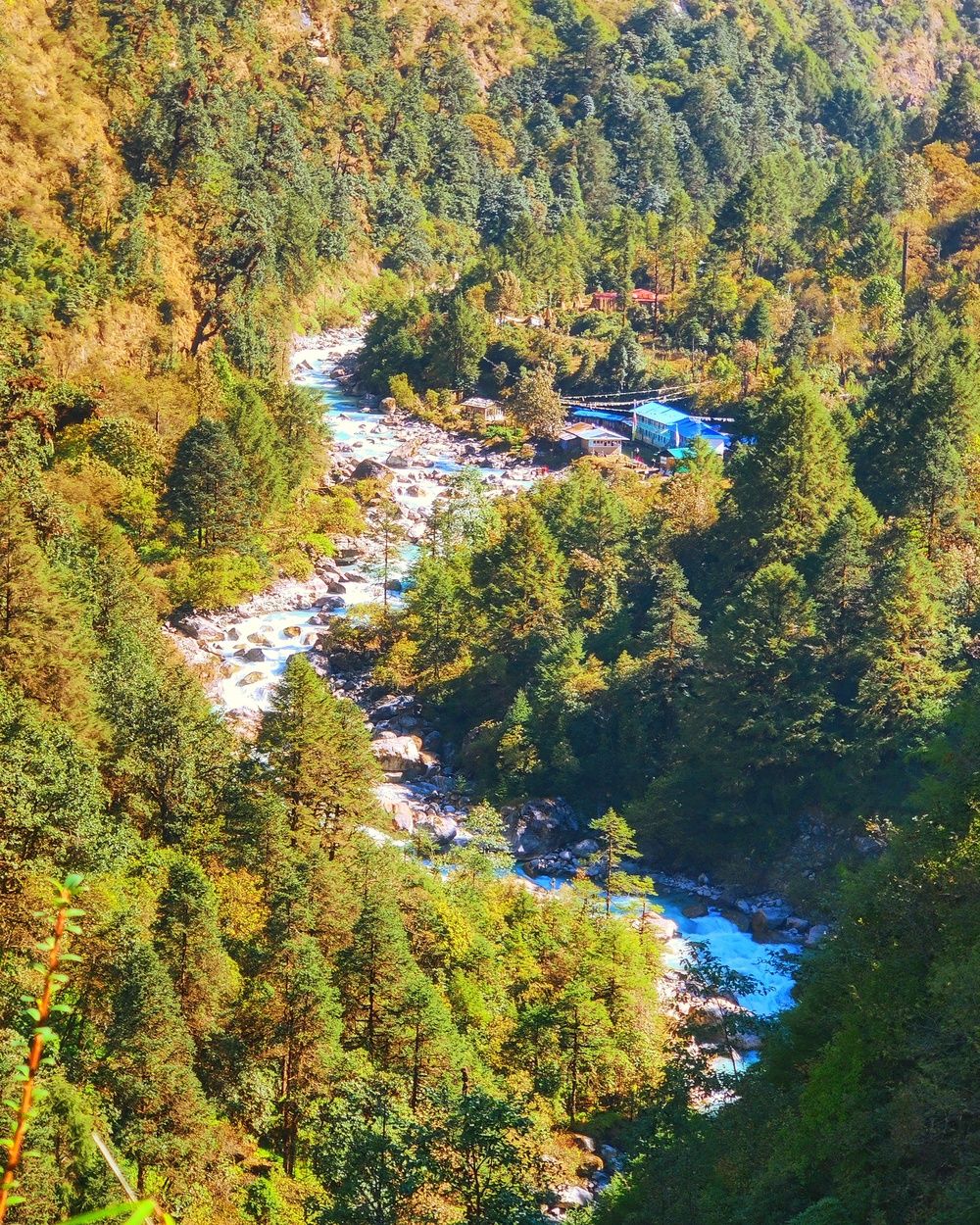
We were starving when we arrived. The next stop was hours away, so we stopped for Dal-Bhat (rice with lentils and vegetables on the side), the quintessential Nepali food. Sweat had drenched our clothes during the long sunny hike. We took the time to dry them and rested until the food was ready. After having a hearty meal, we rested a bit more as we were in no position to start walking immediately.
We resumed the hike from Dongang at around 1 pm. The mountains felt closer now, which made us want to continue. We walked along the Tamakoshi river for a long time. We didn't complain, because the turquoise-blue water was something we couldn't get enough of. After a while, we began to notice that the vegetation was changing and starting to be more alpine-like.
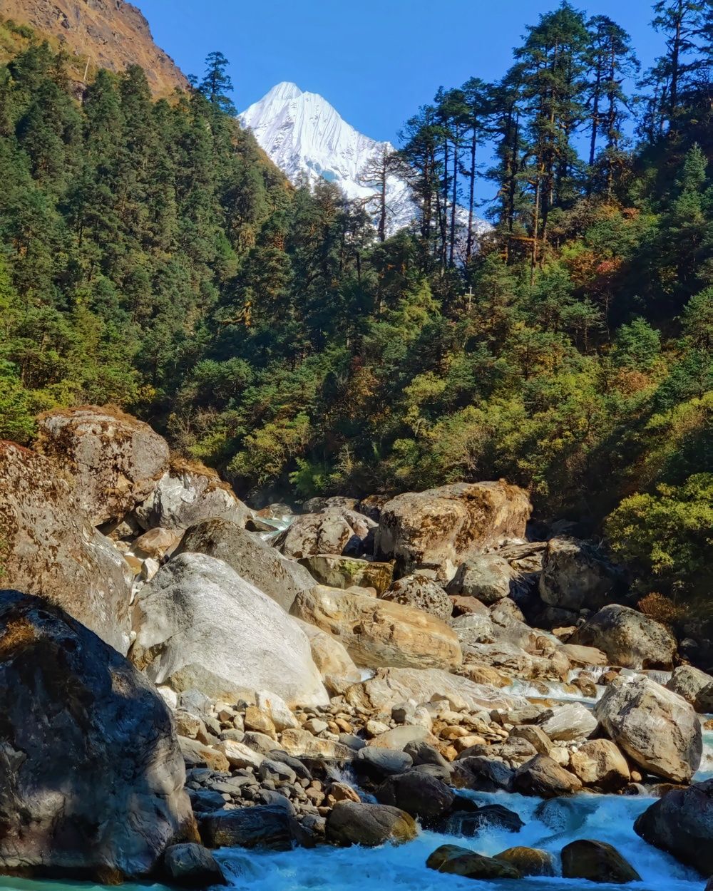
At around 6 pm, as dusk fell, we reached the village of Beding. We felt tired, and some of us felt the altitude. We were glad to see the village signpost where we could stay for the night. To our dismay, the lodges were at the far side of the village. Reaching them took 45 more minutes in utter darkness, with only our headlamps and flashlights to light the path.
In the lodge in Beding, we had some Tibetan noodle soup alongside the fire in the kitchen to quickly warm us up before having our dinner of Daal-Bhat. The weather in Beding was freezing, and our rooms had no heating. We piled layers of blankets on top of us to stay warm at night.
Day 3: Beding (बेदिङ्ग) - Tsho-Rolpa (च्छोरोल्पा) - Na (ना) village
- Altitude: from Beding (3,721m) through Tsho-Rolpa (4,550m) to Na village (4,180m)
- Hiked time: 12 hours
Beding, also known as the village of Everest climbers, was where we stayed on the second night of our trip. Since we had arrived in darkness, we got a pleasant surprise in the morning. Beautiful mountain views greeted us from our lodge.
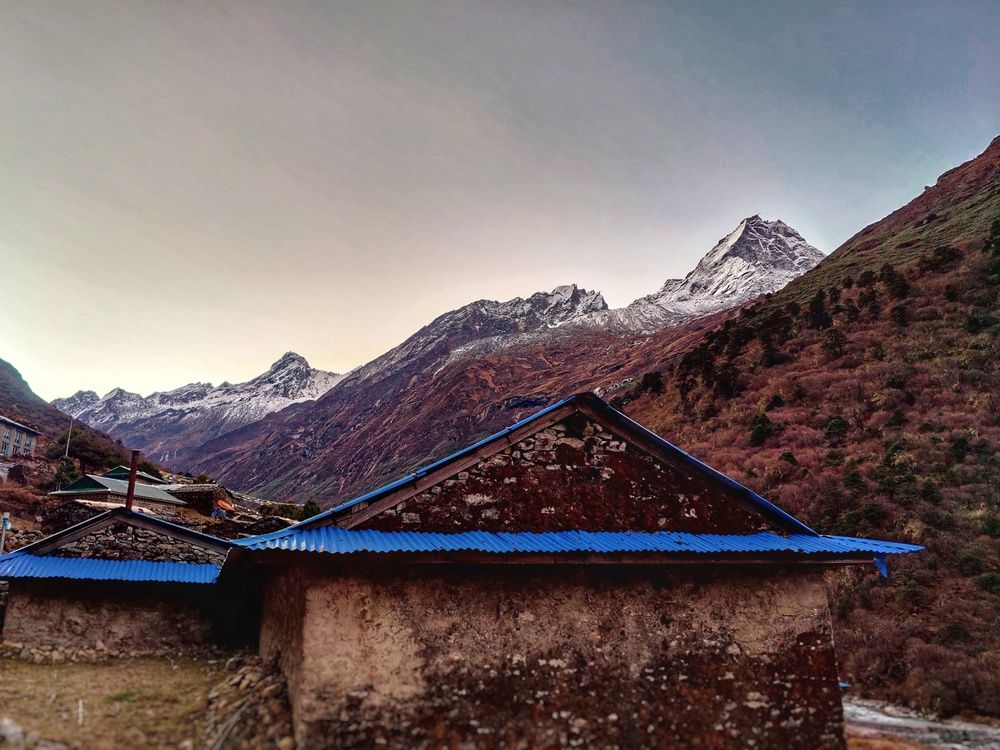
On the third day, we had a quick breakfast and started the hike at 7 am, soon after waking up. This was the first day we didn't have to gain much elevation during our hike. The path ran nearly straight with only minor elevation changes.
Along the way, we could enjoy the views of the Rolwaling valley. In the local Sherpa language, Rolwaling means "valley carved by a plow," and the landscape did look the part.
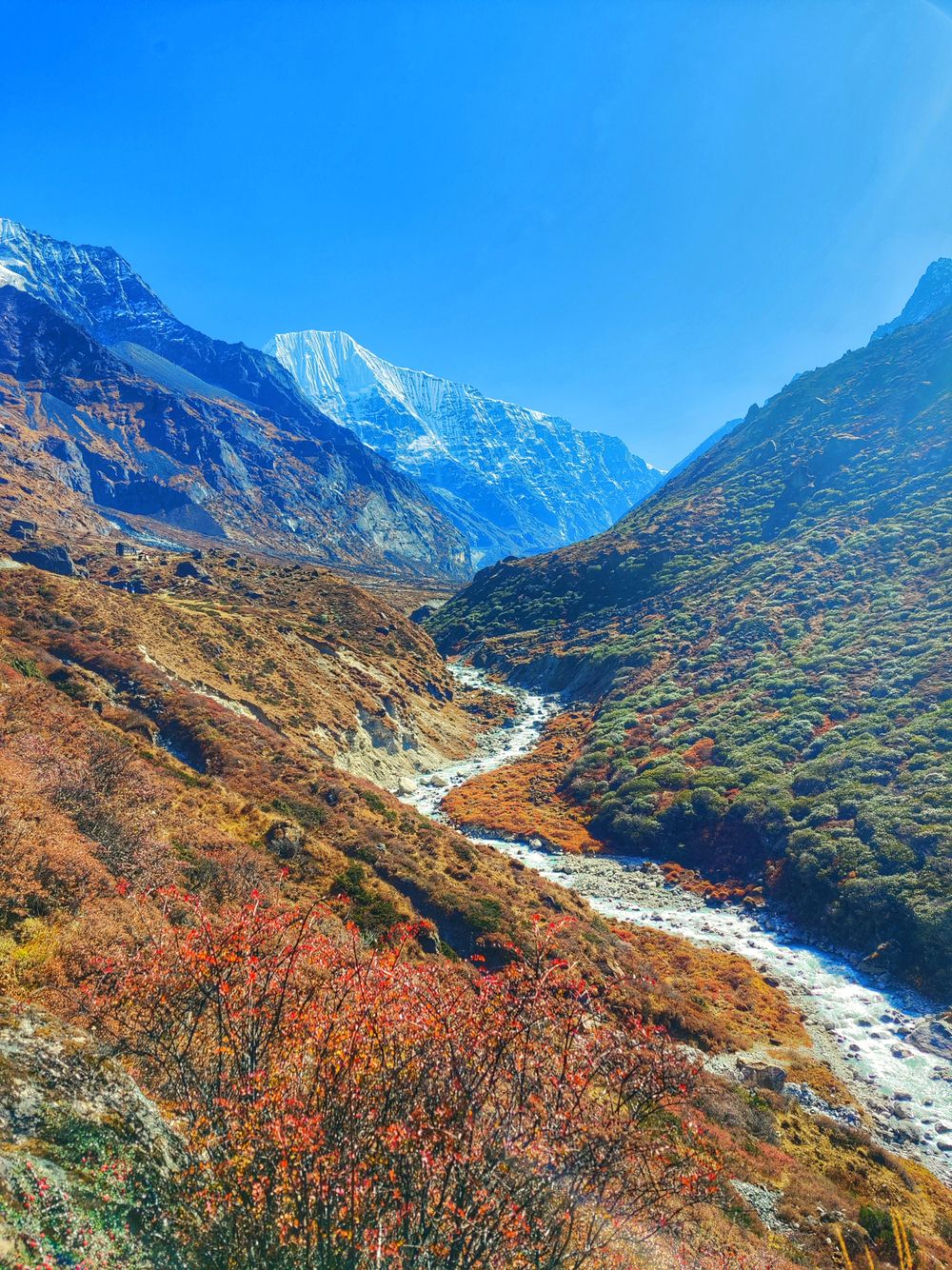
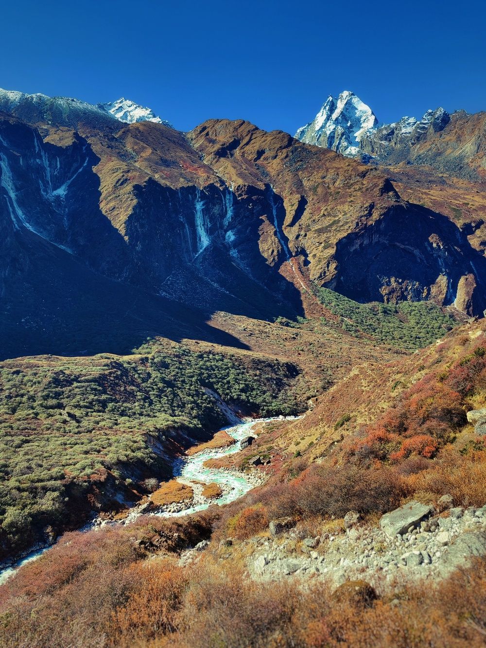
We reached the village of Na at 11 am. After resting for a while at a lodge there, we had our breakfast/lunch. We left our bags here, taking only the day's essentials. We would return to stay the night after reaching Tsho-Rolpa lake. Not having to carry the 12 kilos I had been carrying the past days felt almost magical.
Walking alongside the Tamakoshi river on almost flat terrain, we reached Tsho-Rolpa lake at 3:30 pm. The weather favored us that day, and we had clear views of the lake and the mountains. We had heard that fog often hides the lake after 11 am.
Reaching our destination after the grueling walk and the pain we endured the past few days felt surreal. We lingered for a while over the lake and the mountains, with the Rolwaling valley behind us. We also met other travelers from Nepal at the lake.
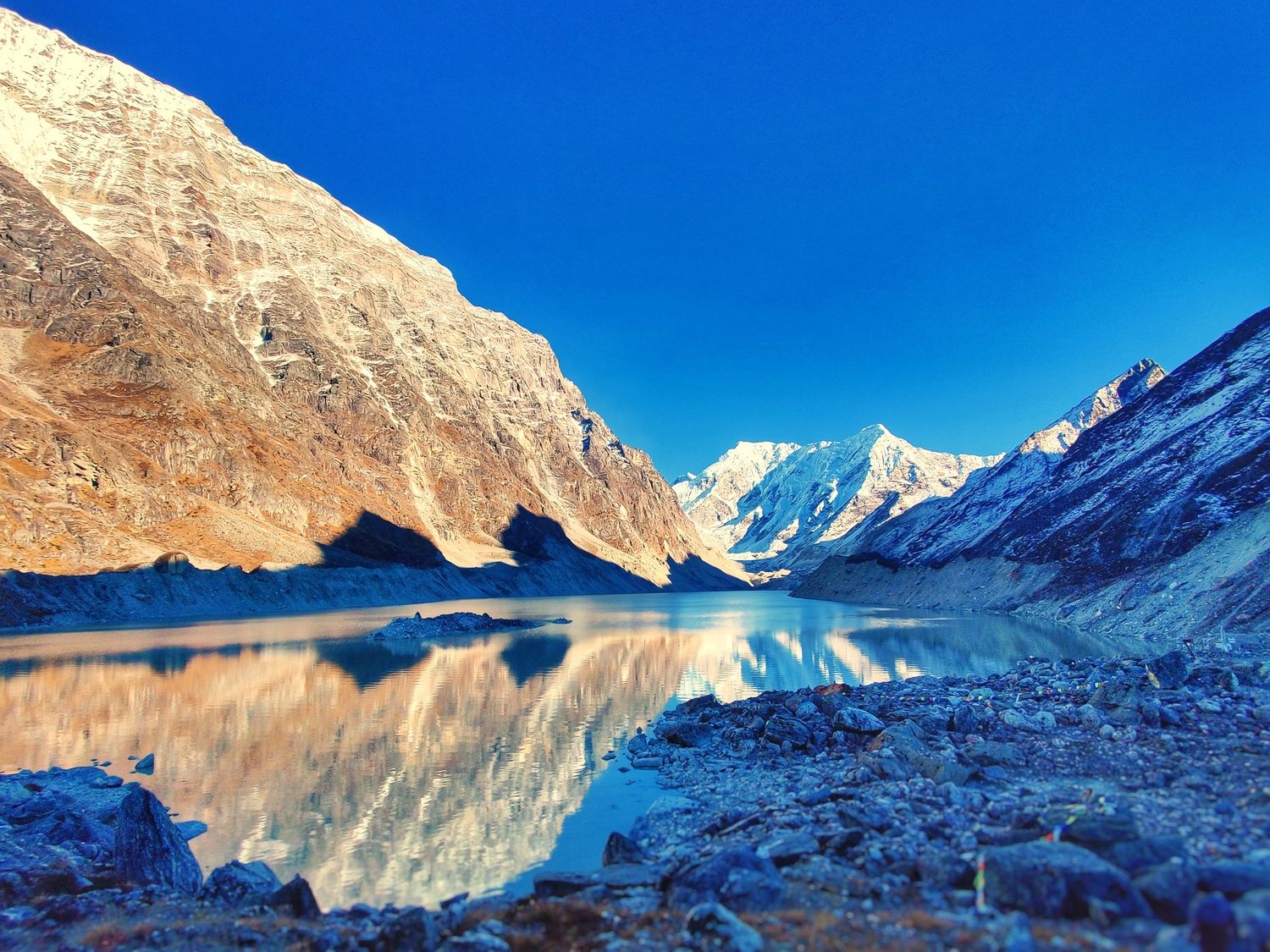
Despite the captivating view, we couldn't stay there for long because we were losing light and had to return soon. The wind and chill also made it impossible to spend more time there. No hotels, lodges, or teahouses stand near Tsho-Rolpa lake. Everyone had to return unless they planned to camp.
While making our descent from the lake to Na village, we saw the golden hour set in. Beautiful light filled the horizon ahead of us.
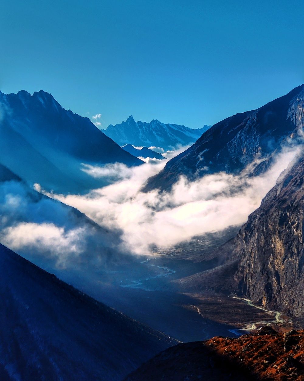
Behind us, the last light of the day glowed on top of the mountains, an exquisite view of its own.
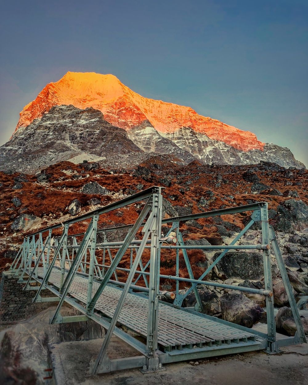
Like the previous days, we reached our destination in utter darkness and sat by the fire to warm ourselves up with some soup before having our dinner. We also reflected on our journey and on reaching the Tsho-Rolpa lake in 3 days. Except for seasoned trekkers, reaching the lake takes at least 4 days. We were proud of doing it in 3 days despite our limited experience at such a high altitude.
Sleep didn't come easily that night. The high altitude and the cold kept us awake despite our exhaustion. We did manage to get to sleep after a while of trying.
Day 4: Na (ना) village - Simigaun (सिमिगाउँ)
- Altitude: from Na village (4,180m) to Simigaun (2,000m)
- Hiked time: 12 hours
The hike back was almost entirely downhill. We planned to cover a long distance to make the next day easier. We started our hike at 7:30 from the Na village after having breakfast. We didn't make many stops along the way apart from a few snack breaks as going downhill was easier and we had to walk a long distance to cover during the day.
We stopped at Dongang for lunch at 2 pm and resumed our journey soon after. As on the previous days, we reached our destination in the dark, arriving in Simigaun at 7 pm. Most of our electronics were low on battery, so we recharged them here where there was grid-connected electricity. The power banks we had brought and the spare batteries from the GoPro and the drone had lasted us till then.
We hadn't properly celebrated reaching our destination the previous night, so we treated ourselves to Tongba, an alcoholic drink made from fermented millet. We mulled over our journey, life, and philosophy in general, as often happens over drinks.
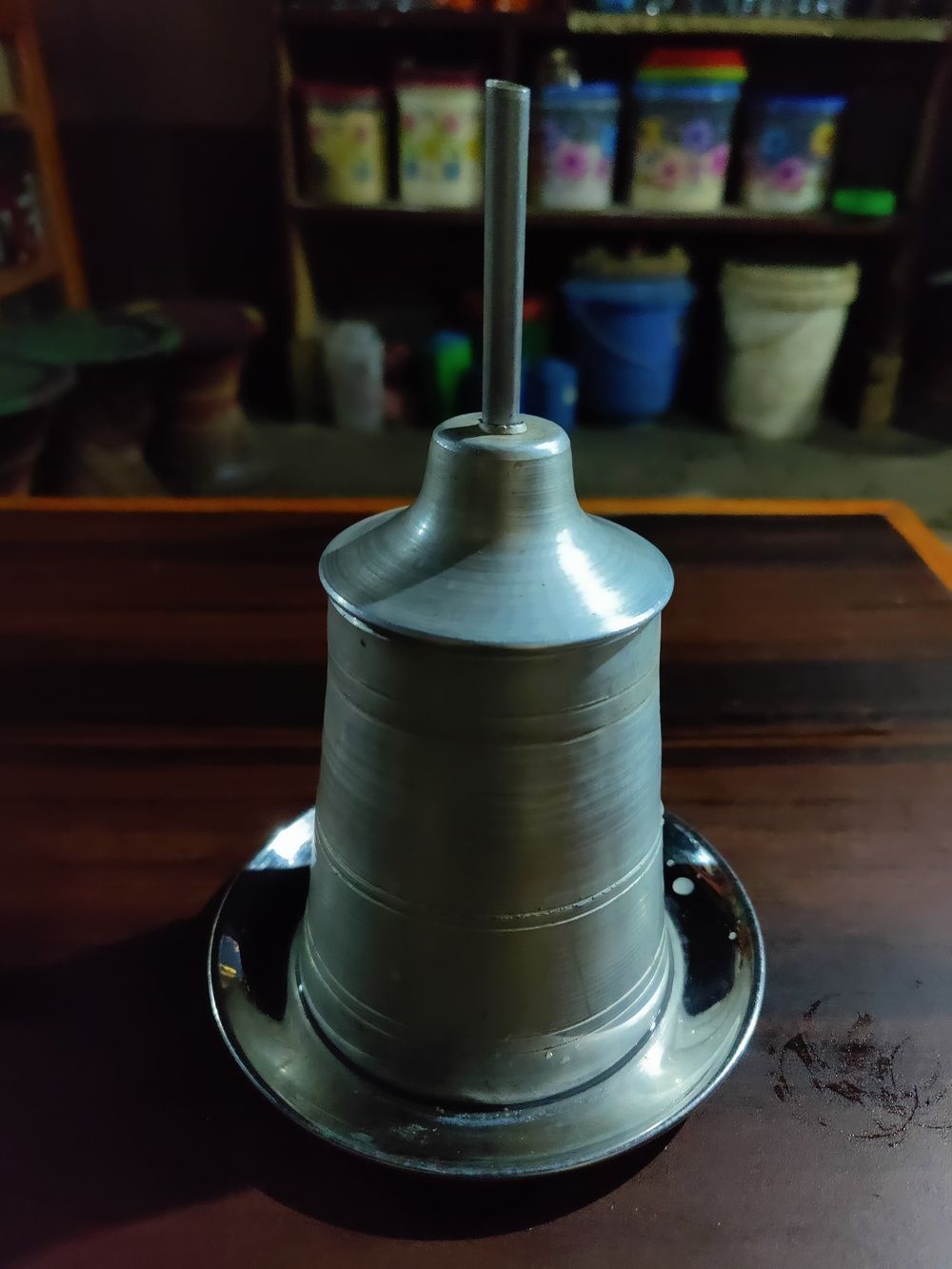
After a while, we had dinner and went to sleep. We planned to wake up early. We still had a few hours of hiking left before reaching Chhetchhet, where our motorbikes waited to take us home.
Day 5: Simigaun - Bhaktapur
- Altitude: from Simigaun (2,000m) to Bhaktapur (1,400m)
- Hiked time: 2 hours
- Motorbike ride time: 7.5 hours
We started our journey at 7 am without having breakfast. We reached Chhetchhet at 9 am. The last 30 minutes of our walk felt grueling because I was having knee problems walking downhill on the stone-paved stairs. The long downhill distance we covered the previous day probably caused it. But I was glad this happened towards the end of the trek and not earlier. Otherwise, it'd have been a nightmare and not a nice experience.
Getting on my motorbike was an immense relief for my knee and lower body in general. Now my arms and hands felt the pain of riding a motorbike on off-road, uneven terrain. Braving the pain, we reached Dolakha Bazar, where we made a short stop to visit the Dolakha Bhimeswor temple.
Our next stop was at nearby Charikot where we had the first meal of the day at noon. We also loaded our heavy bags onto a bus bound for Kathmandu, so we wouldn't carry them on our backs all the way home.
Shortly after lunch, we resumed our journey towards Bhaktapur and reached there at 6 pm, just in time to retrieve our bags from the bus. Although the motorbike journey is typically much faster than the local bus, we arrived together. We had stopped for rest and food in Dolalghat.
My whole body was in pain when I reached home after our grueling journey. I couldn't wait to rest and not do anything for the next few days.
Reflections on the journey
The journey was one of the best experiences of my life. The majestic views and well-maintained trails of the Gaurishankar Conservation Area made the hike pleasant despite the long hours. Having good friends accompanying me on the trip made it even better.
Despite the beautiful journey, we couldn't help but wonder about the people living below the lake. What would happen to them if it suddenly bursts? Due to global warming, the risk grows more severe every day. Some efforts to reduce the risk and set up an early warning system are underway, but they aren't enough. The risk remains unless the world acts to curb rising temperatures and climate change.
Things we could've done differently
Since we squeezed a 7-9 day trip into five days, we had to walk up to 12 hours a day. It felt tough at times. The trip could've been a lot less stressful. But we did the best we could with our time constraints.
If we had more time we could also have hiked to the Dudh Kunda, a beautiful lake a few hours away from Tsho-Rolpa lake.
Bringing medicines for high altitude, just in case, would've been smart. We didn't need them in the end.
Lessons learned for life
Towards the end of our daily 12-hour trek, I felt exhausted and couldn't continue. Stopping in the dark woods wasn't an option, so I forced myself on despite the weariness and pain. This made me realize that we are capable of achieving a lot and most of the time our mind is the one limiting us.
Planning the journey and pre-determining the destination for each day made us accountable and determined. While on the hike, instead of getting daunted by the long path ahead, we focused on the next step. Having a bigger picture in mind and taking small steps to achieve it makes even the seemingly impossible possible.
The insights I learned can help me overcome difficult challenges in other facets of life as well.
Why do you go away? So that you can come back. So that you can see the place you came from with new eyes and extra colors. And the people there see you differently, too. Coming back to where you started is not the same as never leaving.
I felt like a different person, for the better, after my journey.
Looking forward to more journeys to explore the world and discover my true self.
Addendum
- There were variations in the reported altitude of the places based on the sources
- Follow me on Instagram (@sub0dh_d) to view more pictures from this and other trips